|
||
|
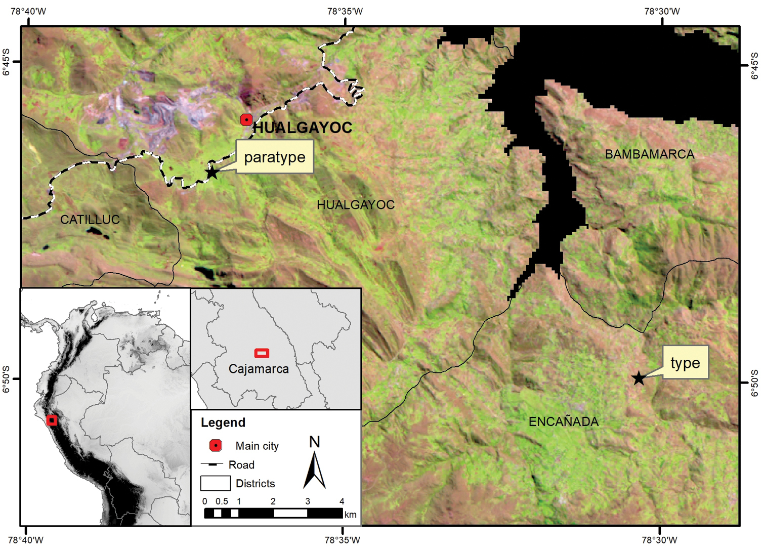
Location map of the type and paratype collection localities. Background: LANDSAT 5TM satellite image (June 2007) where light brown-pink areas represent Jalca grasslands, light green areas are agricultural fields and purple represents mining areas. |
|
||||||||
| Part of: Montesinos-Tubée DB, Tovar C, Iberico-Vela G, Montoya-Quino J, Sanchez-Vega I (2020) Drymaria veliziae (Caryophyllaceae), a new species from the Andes of Cajamarca (North Peru). PhytoKeys 140: 47-56. https://doi.org/10.3897/phytokeys.140.47738 |