|
||
|
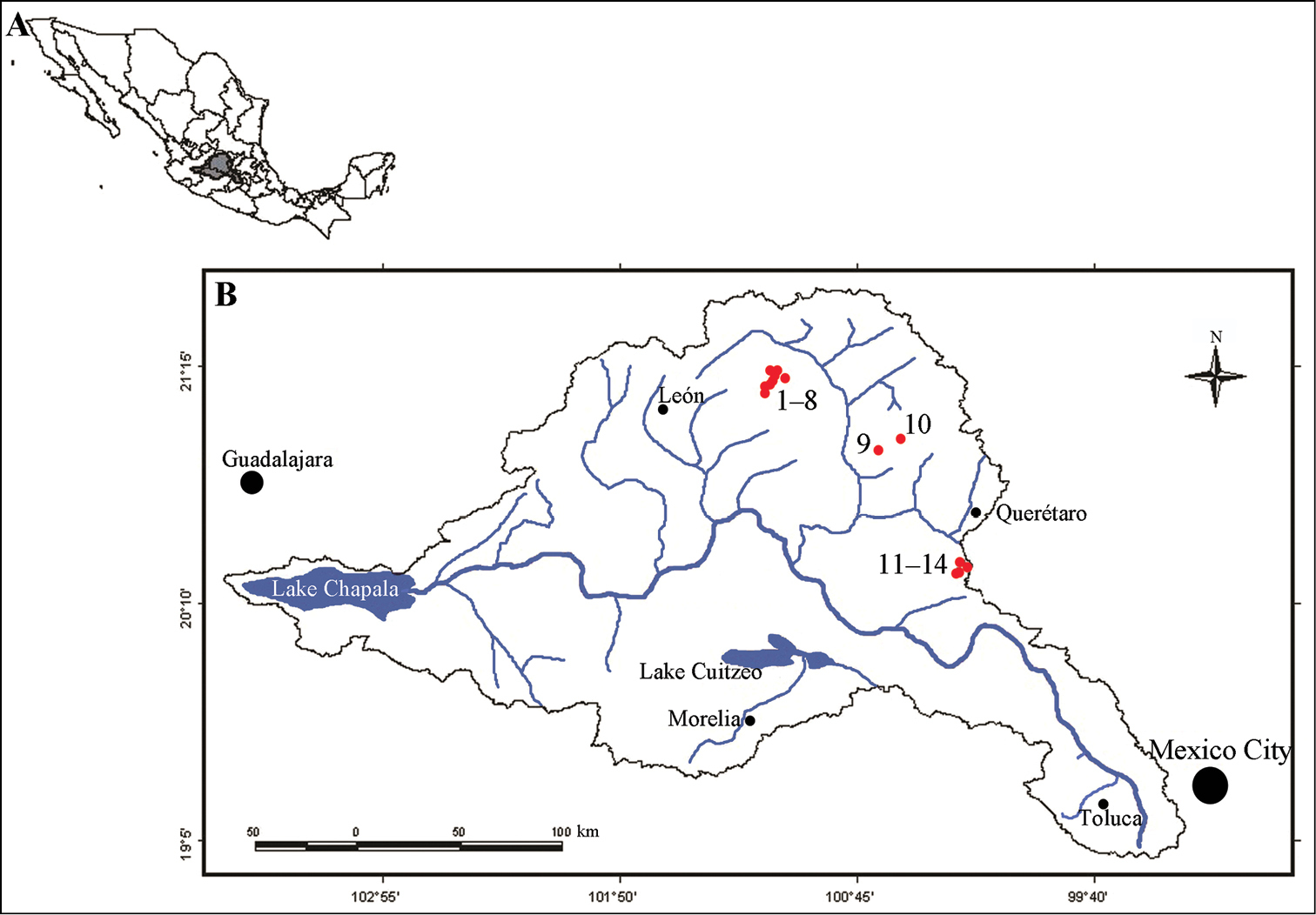
Location of the area of study. A Map of Mexico, showing the location of the Lerma-Chapala Basin in the center of the country. B Location of the 14 sampling sites in the Lerma-Chapala Basin, indicated by red dots. The numbers next to the red dots refer to the name of the sampling site in Table 1. |