|
||
|
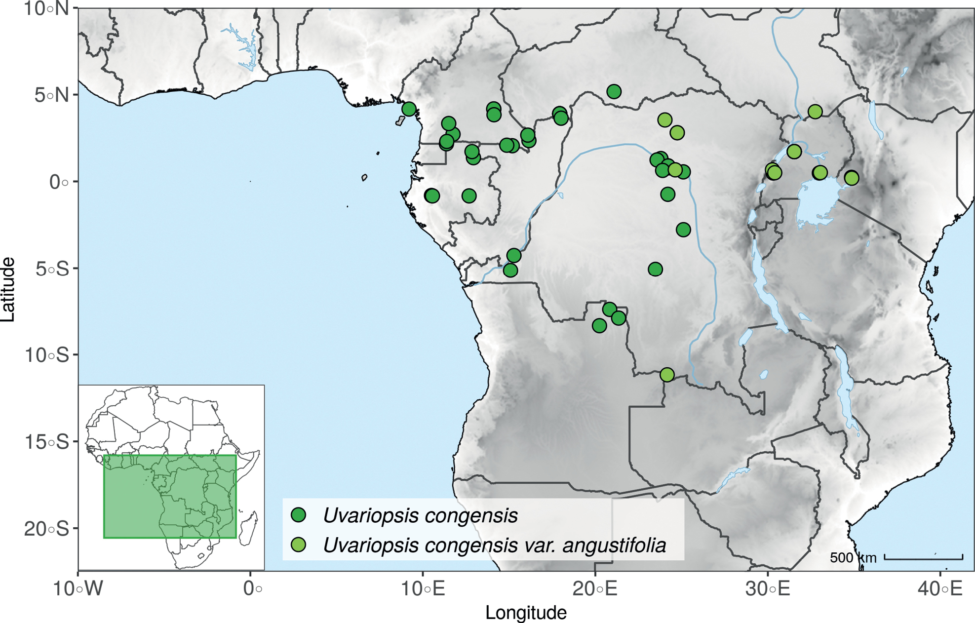
Distribution map of Uvariopsis congensis. Shades of grey represent elevation, from white (sea level) to darker grey (higher elevation). The inset shows the extent of the map over Africa. |
|
||||||||
| Part of: Dagallier L-PMJ, Mbago FM, Couderc M, Gaudeul M, Grall A, Loup C, Wieringa JJ, Sonké B, Couvreur TLP (2023) Phylogenomic inference of the African tribe Monodoreae (Annonaceae) and taxonomic revision of Dennettia, Uvariodendron and Uvariopsis. PhytoKeys 233: 1-200. https://doi.org/10.3897/phytokeys.233.103096 |